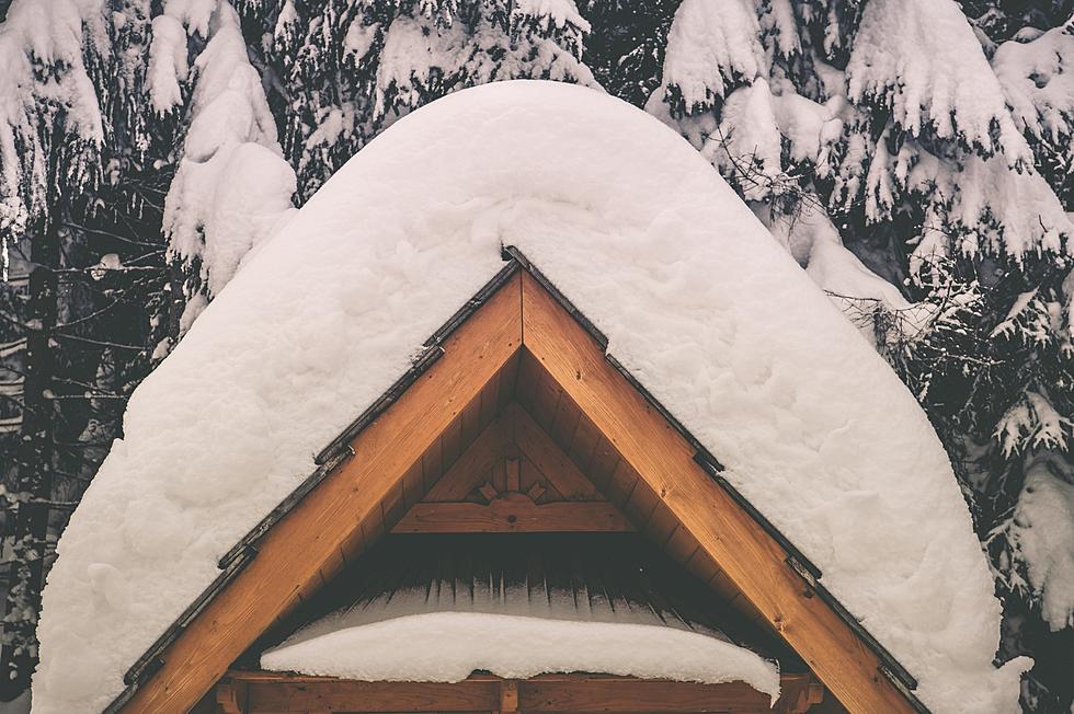
Bozeman Winter Weather Advisory Through 11am Saturday
After several inches already fell in town this week, there's another Winter Weather Advisory in effect from 5pm today until 11am tomorrow above 5,500 feet. How much snow is on the way?
The National Weather Service in Great Falls has issued a Winter
Weather Advisory for elevations above 5500 feet for snow which is
in effect from 5 PM this afternoon to 11 am MST Saturday.
Timing and main impact: snow will develop late this afternoon
and continue overnight before tapering off Saturday morning.
Snow accumulations: 3 to 6 inches is possible.
Winds and visibility: gusty southwest winds to 30 mph tonight
combined with falling snow will reduce visibilities to less than
one half mile at times.
Elevations: for elevations above 5500 feet.
Other impacts: temperatures in the teens to single digits
tonight... along with the gusty winds... will result in wind chill
values as low as 15 below zero.
Locations affected include: Battle Ridge Pass... Bozeman Pass...
Targhee Pass... West Yellowstone... Raynolds Pass... Big Hole
Pass... Chief Joseph Pass... Monida Pass.
More From My 103.5 FM