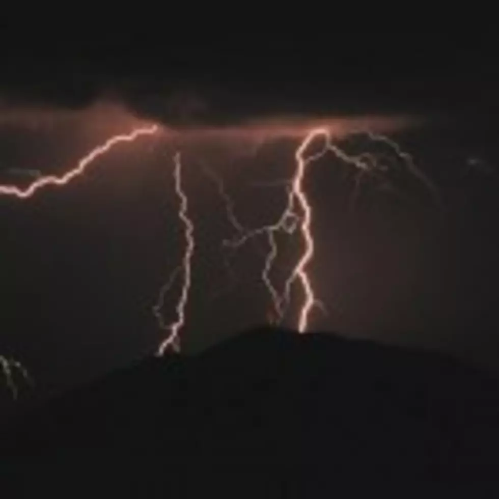
Severe Thunderstorm Watch For Several Counties
There is a Severe Thunderstorm Watch for portions of central Montana effective this Wednesday afternoon and evening from 230 PM until 1000 PM MDT.
Besides Gallatin County, other areas affected are: IN CENTRAL MONTANA: CASCADE FERGUS JUDITH BASIN MEAGHER
IN NORTH CENTRAL MONTANA: BLAINE CHOUTEAU HILL LIBERTY
IN SOUTHWEST MONTANA: BROADWATER GALLATIN JEFFERSON LEWIS AND CLARK MADISON
THIS INCLUDES THE CITIES OF... BIG SANDY... BOULDER... BOZEMAN... CHESTER... CHINOOK... CLANCY... ENNIS... FORT BENTON... GREAT FALLS... HARLEM... HAVRE... HAYS... HELENA... HOBSON... LEWISTOWN... LINCOLN... MONTANA CITY... SHERIDAN... STANFORD... TOWNSEND... TWIN BRIDGES... WEST YELLOWSTONE... WHITE SULPHUR SPRINGS AND WHITEHALL.
Primary threats include: several large hail events with a few very large hail events to 2inches in diameter possible
Damaging wind gusts to 70 mph possible.
People in these areas should be on the lookout for threatening weather conditions and listen for later statements and possible warnings. Severe thunderstorms can and occasionally do produce tornadoes.
More From My 103.5 FM