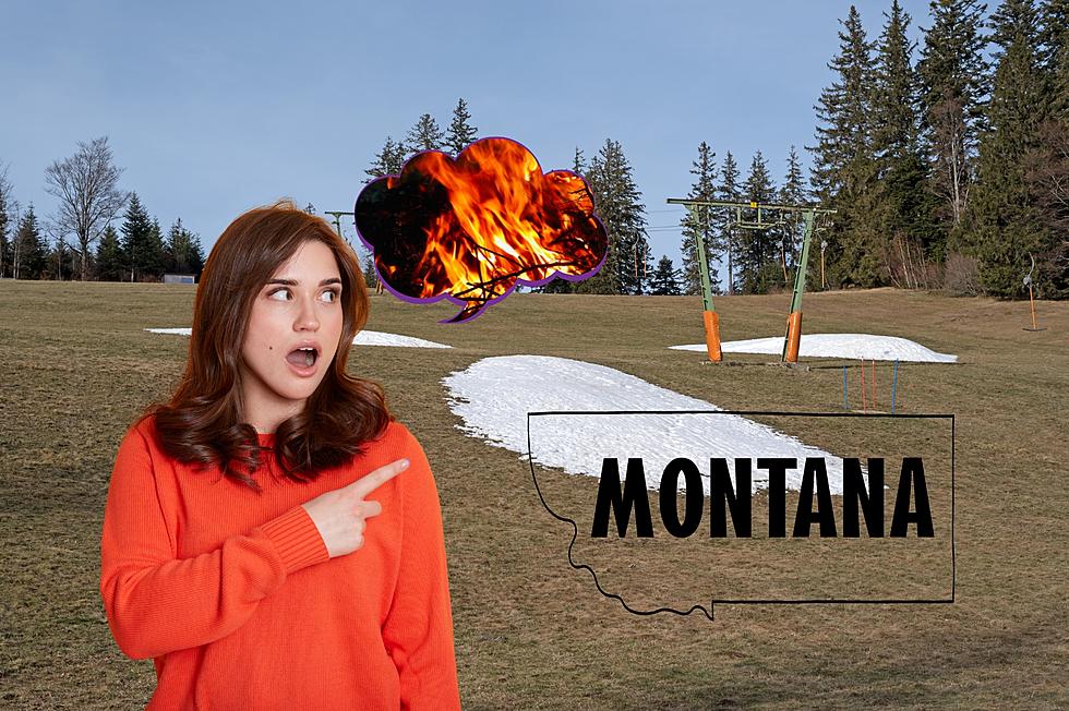
Winter Weather Advisory for Southwest Montana
Up to 10 inches of snow could fall in the highest elevations through Saturday afternoon.
According to the National Weather Service in Great Falls:![]()
The National Weather Service in Great Falls has issued a Winter
Weather Advisory for elevations above 5500 feet across southwest
Montana for snow... which is in effect until 5 PM MST Saturday.

* Timing and main impact: snow showers this evening will become
  more widespread light accumulating snow after midnight and
  continue through the day on Saturday. Wet roads will likely
  become icy overnight causing hazardous travel conditions as
  these icy roads become snow covered... especially over mountain
  passes.

* Snow accumulations: 5 to 8 inches in the mountains... with up to
 10 inches possible on the higher peaks. 2 to 4 inches over
 mountain passes. Less than 2 inches in the valleys.

* Winds and visibility: north to northeast winds of 10 to 20 mph
  with gusts to 30 mph will reduce visibility to less than 1 mile
  at times in blowing snow on Saturday.

* Elevations: for elevations above 5500 feet.

* Locations affected include: Battle Ridge Pass... Bozeman Pass...
 Targhee Pass... West Yellowstone... Boulder Hill... Elk Park
 Pass... Homestake pass... Big Hole Pass... Chief Joseph Pass...
 Monida Pass... Ennis... Norris Hill... Raynolds Pass.
- Winter Weather Advisory
More From My 103.5 FM