After temperatures in the mid 50s this week, the southern mountains of Montana could get a welcomed blast of fresh snow by Friday night. The only downer is that significant winds will probably accompany this new storm front, so back country adventurists need to use caution.
Much of Montana is experiencing its first major snowstorm of the season, and people are already taking to social media to complain about the lack of snow plow drivers on the road. Winters in Montana can be extremely harsh, and the state is currently dealing with a shortage of snow plow drivers...
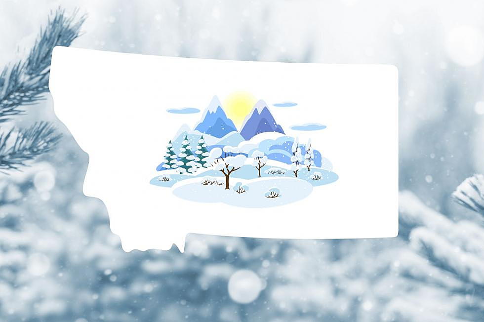
With winter just around the corner, what can we expect as far as winter weather this year in Montana and just how far away is the first significant snowfall?
Travel could be very difficult at times in parts of southwest Montana through Monday morning. Several inches, perhaps up to 6 inches of snow is expected to fall intermittently in this weekend storm.
It's literally the perfect storm for Butte, Bozeman, Billings, Baker, and everywhere in between. Heavy snowfall, dangerous winds, and drastically cold temperatures are expected across most of Montana. Don't be surprised if Emergency Travel Only statements are issued.