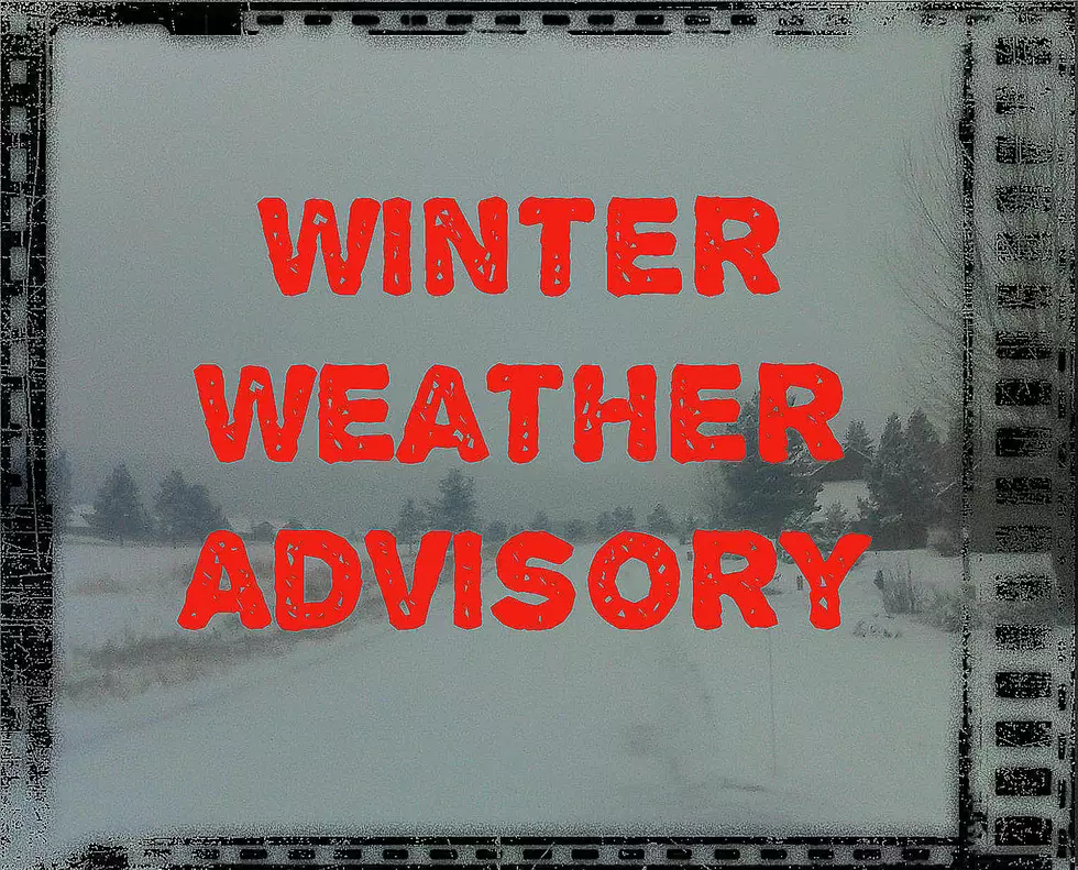
Several Inches of Snow and 40mph Winds Possible This Weekend
Most of western Montana is under an advisory or a watch this weekend with the Bozeman area expected to see up to 8 inches of fresh snow.
According to the National Weather Service:
WINTER STORM WATCH REMAINS IN EFFECT FROM THIS AFTERNOON THROUGH SUNDAY AFTERNOON.
- WHAT...Heavy snow and blowing snow possible.
- Total snow accumulations of 4 to 8 inches possible at pass level, with 1 to 4 inches in the valleys.
- Winds could gust as high as 45 mph.
- WHERE...Gallatin, Beaverhead and Madison.
- WHEN...From this afternoon through Sunday afternoon.
- Plan on slippery road conditions.
- Strong winds could cause blowing snow, poor visibility, and hazardous travel conditions.
- A Winter Storm Watch means there is potential for significant snow, sleet or ice accumulations that may impact travel.
More From My 103.5 FM


![[WATCH] Powerful Killer Hailstorm Causes Chaos Across Montana](http://townsquare.media/site/15/files/2025/06/attachment-Untitled-design-2025-06-18T120729.826.jpg?w=980&q=75)

