Let it Snow! More Snow On The Way For Bozeman
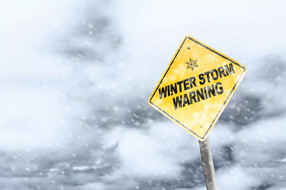
It seems like winter may have finally arrived in Montana. The National Weather Service has issued another Winter Storm Warning for Bozeman and the surrounding areas later this week.
The next storm system is expected to move into the Bozeman area Thursday afternoon and will include a good amount of snow in the Bozeman area through Saturday.
The Winter Storm Watch is in effect from 5:00 p.m. Thursday - Saturday morning for portions of central, north-central, southwest, and west-central Montana.
For lower elevations, 3-6 inches of snow is predicted. Mountains and higher elevations could see more than 12 inches of new snow. Wind gusts could also exceed 35 mph. Wind chills as low as 25 below zero are possible. Extended exposure could cause frostbite in as little as 30 minutes. According to the National Weather Service, the heaviest snow is expected throughout Friday and overnight into Saturday,
In addition to snow, frigid temperatures are forecasted for the Bozeman area early next week. The low temperatures for Monday and Tuesday will be below zero.
The recent snowstorms come as great news for places like Bridger Bowl and Big Sky Resort. Due to less snowfall and warmer than usual temperatures, opening dates and operations had to be adjusted.
Heavy snow and wind gusts could make travel difficult. If possible, stay home and off of the road.
WHAT: Heavy snow possible. Total snow accumulations of 3 to 6 inches at lower elevations, and 6 to 12 inches in the mountains. Winds could gust as high as 35 mph.
WHERE: Portions of central, north-central, southwest, and west-central Montana.
WHEN: From Thursday afternoon through Saturday morning.
How To Safely Drive During The Winter In Montana
More From My 103.5 FM


![[PHOTOS] Insanely Beautiful $39 Million Ranch For Sale in Montana](http://townsquare.media/site/15/files/2024/01/attachment-Untitled-design-57.jpg?w=980&q=75)