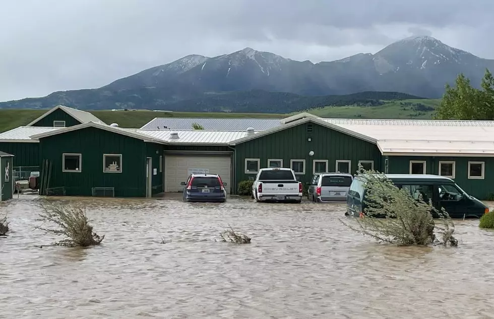
WARNING: Excessive Runoff Triggers Dozens Of Montana Flood Watches Wednesday
The cycle of warmer temperatures and afternoon showers and thunderstorms are prompting many Flood Watches across central Montana. Creeks, streams, and rivers are all at risk of flooding on Wednesday - travelers and recreationists are urged to use caution.
Flash Flood Warnings are common in these conditions so if you live in close proximity to a creek, stream, or river - monitor the weather forecast closely. It's Montana and the weather changes quickly. Flooding can be very serious and very dangerous here.
IN ADDITION - A Flood Watch means that flooding is POSSIBLE, but not yet occurring, according to the National Weather Service. As with every weather event in Montana, that can get upgraded quickly. "A Flood Watch will be UPGRADED to a Flood Warning if or when confidence is high that flooding will occur at the particular point."
- FLOOD WATCH REMAINS IN EFFECT THROUGH WEDNESDAY
- WHAT...Flash flooding caused by excessive rainfall continues to be possible.
- WHERE...Portions of central and north central Montana, including the following areas, in central Montana, Big Belt, Bridger and Castle Mountains, Little Belt and Highwood Mountains, Meagher County Valleys and Snowy and Judith Mountains. In north central Montana, Fergus County below 4500ft and Judith Basin County and Judith Gap.
- WHEN...Through Wednesday evening.
- IMPACTS...Excessive runoff may result in flooding of rivers, creeks, streams, and other low-lying and flood-prone locations. Flooding may occur in poor drainage and urban areas.
- PRECAUTIONARY/PREPAREDNESS ACTIONS... You should monitor later forecasts and be prepared to take action should Flash Flood Warnings be issued.

Montana's Top 10 Record-Setting Wild Weather Events
Gallery Credit: Brian Lee
10 Helpful Montana Weather Terms You Need to Know
Gallery Credit: Jesse James
More From My 103.5 FM


