MAP: Montana Highway Patrol Busy With Accidents on Monday
By late Monday morning, there were at least 2 dozen incidents on Montana highways that required Highway Patrol to be dispatched. Snow covered roads and low visibility guarantees there will be at least more slide-offs before days end.
For the first part of Monday, the I-90 corridor between Missoula and Bozeman appeared to be the busiest with activity. Crashes, slide-offs and "abandoned" vehicles made up the majority of Montana's Highway Patrol calls.

As of mid-day, there was virtually no activity west of Bozeman...so that's good news so far today. Also, the stretch of US-93 south of Missoula to Hamilton was reasonably quiet.
SEE THE MT HIGHWAY PAROL ACCIDENT MAP IN REAL TIME HERE

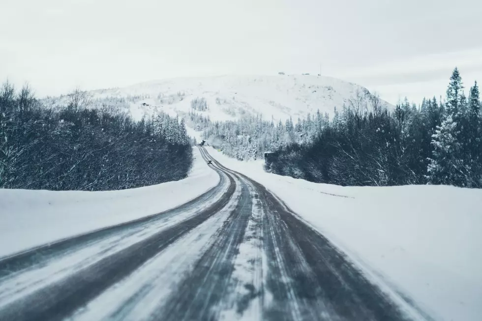
The Montana highway webcams showed a wide variety of conditions late Monday morning. The picture below is of Bozeman Pass (looking west) at 11:00am Monday, December 27th. (Bozeman Pass is east of Bozeman, between Bozeman and Livingston.)

A concerning detail for Monday and a few days to come is the wind chill factor. Most of southwest Montana was still below zero by late morning on Monday...and that was one of the WARMEST parts of the state!
At 11:30am, here is a snapshot of where temperatures around the state stood (not including any wind chill):
- Missoula: 13
- Bozeman: -6
- Helena: -6
- Great Falls: -15
- Cut Bank: -22
- Havre: -13
- Billings: -10
- Glasgow: -16
In the coming few days, dangerous wind chills will play a big factor in Montana's weather. Even if road conditions clear up and road surfaces seem quite safe, breaking down in sub-zero weather can end up life-threatening. It's worth considering postponing unnecessary travel when temps dip so low.
More From My 103.5 FM


![Route Map: Belgrade’s Famous Christmas Convoy 2022 [WATCH]](http://townsquare.media/site/13/files/2022/12/attachment-Christmas-Convoy-Belgrade-Community-Coalition.jpg?w=980&q=75)