A Favorite Fishing Channel of the East Gallatin River Is Disappearing
It's true. It's actually gone. As in, not part of the flowing East Gallatin River anymore due to recent flooding activity. A perfect example of Mother Nature doing whatever she wants.
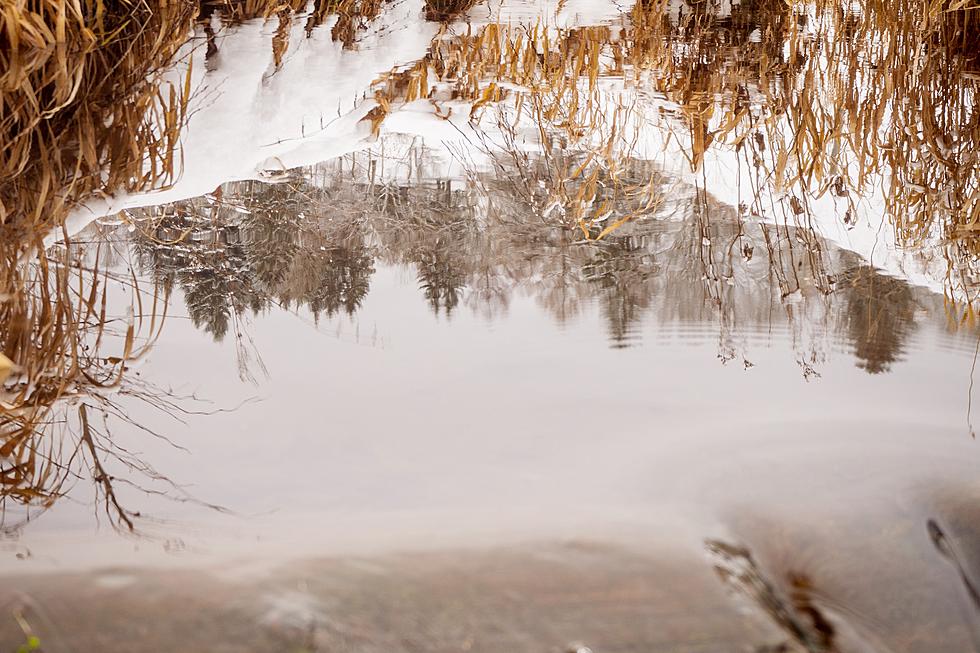
This is a picture of the same stretch of the East Gallatin River just north of Bozeman as the spring runoff began.
It's the span of river that stretched between the Springhill Road overpass down to the water reclamation facility.
(It was a great fishing spot and didn't appear to ever be prone to EXTINCTION, but alas...)
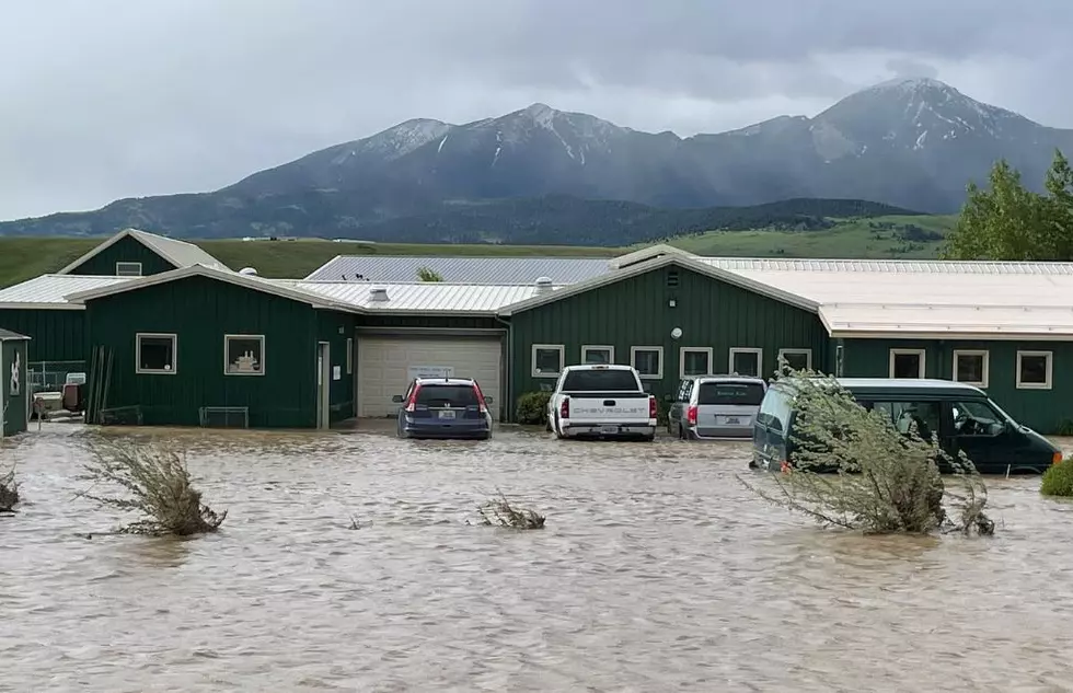
Here's the reason why the original channel is drying up:
Due to the overwhelming amount of water running down the East Gallatin, a large uprooted tree, brush and mud have piled up, diverting all of the water west after the overpass instead of winding southwest toward the reclamation facility.
Again, Mother Nature doing whatever she wants!
If you're looking for an "official" fishing access on the Gallatin, we looked them up with Montana Fish, Wildlife and Parks:
- Kirk Wildlife Refuge: River Mile 46
- Axtell Bridge: River Mile 37
- Shed's Bridge: River Mile 33
- Cameron Bridge: River Mile 27
- Erwin Bridge: River Mile 24
- Four Corners: River Mile 16
- Gallatin Forks: River Mile 13
NOTE: All river Fishing Access Sites (FAS) are listed in descending order by river mile from headwaters to mouth. (The mouth of a stream is its confluence with another body of water and is considered mile 0.)
More From My 103.5 FM