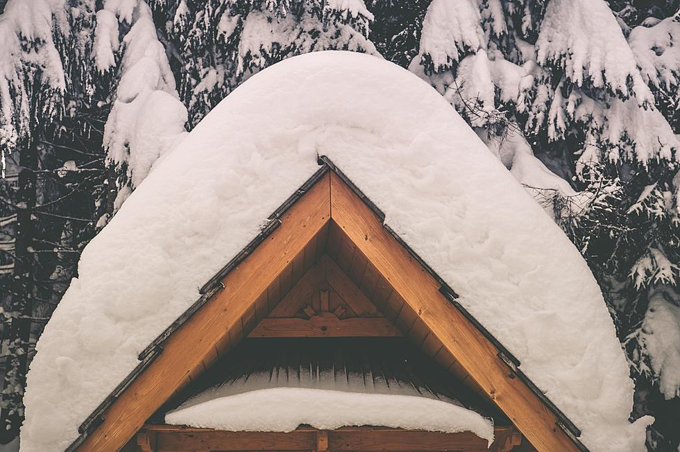
Winter Weather Advisory For Thursday
Higher mountain passes in southwest Montana will become snow covered and experience more wind today into this evening making for poor driving conditions.
From the National Weather Service:
The National Weather Service in Great Falls has issued a Winter Weather Advisory for elevations above 5500 feet for snow... which is in effect until 11 PM MST this evening.
* Locations... Big Hole Pass... Chief Joseph Pass... Monida Pass... Raynolds Pass... Battle Ridge Pass... Bozeman Pass... Targhee Pass... West Yellowstone. * Snow accumulations... 2 to 5 inches over mountain passes and in higher mountain valleys... 4 to 8 inches in the mountains above pass level.
* Timing... light to moderate snow will spread north across southwest Montana this morning... persist through this afternoon... then diminish during the evening.
* Impacts... mountain passes will likely become icy and snow covered... while roadways at lower elevations will likely become wet and slippery. Southerly winds of 10 to 20 mph with gusts to 35 mph blowing through favored canyons and passes may also reduce visibility in blowing snow at times.
* Hazard elevation... for elevations above 5500 feet.
Winter Weather Advisory/Michelle Wolfe
More From My 103.5 FM