OUTDOORS: Bozeman Area Digital Trail Map From GVLT
Need to get out of the house (or the office) and explore a new trail around the Gallatin Valley? The Gallatin Valley Land Trust and the City of Bozeman make that super easy with the digital trail map.
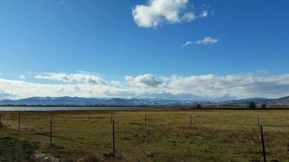
We all know that our trail system is excellent in the Gallatin Valley. Sometimes a friendly reminder of JUST HOW MANY GREAT TRAILS we actually have is a good thing. The GVLT is largely responsible for these resources and they also make it super easy to enjoy the trails with a handy digital Gallatin Valley Trail Map.
- Cherry River
- College ‘M’ Trail
- East Gallatin Recreation Area
- Gallagator Trail
- Kirk Hill
- Leverich Canyon
- Sourdough Trail
- West Side Trail
- Triple Tree Trail
- Bozeman Pond Park
- Sourdough Canyon Trail
- Gallatin Regional Park
- Peets Hill / Burke Park
- Highland Glen Nature Preserve
- Drinking Horse
- Snowfill Recreation Area
What is the GVLT all about in a nutshell?
Since 1990 we have collaborated with the City of Bozeman and dozens of public and private organizations to expand the Main Street to the Mountains system to over 80 miles of trails. These trails are used by commuters, runners, bikers, birdwatchers, and stargazers, and help make the Gallatin Valley the best place to live under the Big Sky.
There are tons of fun GVLT events throughout the year too! Some are just fun, some are about rolling up our sleeves and giving back to the trail system that gives us so much all year long. Check out the summer Discovery Walks, National Trails Day and the Summer Trails Challenge to name a few.
KEEP READING: See 25 natural ways to boost your immune system
More From My 103.5 FM


![Route Map: Belgrade’s Famous Christmas Convoy 2022 [WATCH]](http://townsquare.media/site/13/files/2022/12/attachment-Christmas-Convoy-Belgrade-Community-Coalition.jpg?w=980&q=75)


![Where to Find Montana’s Best Disc Golf Courses [MAP]](http://townsquare.media/site/13/files/2022/07/attachment-ted-johnsson-h2P_QmHvL-Y-unsplash.jpg?w=980&q=75)